 Arab Republic of Egypt · Official portal: Alexandria Governorate
Sources
Image credits
Every photograph and piece of music on this site and in its films has a declared source. Those from Wikimedia Commons and public archives carry licences that permit reuse in exchange for crediting their authors; this page is that credit, and the “Image credits” link under each photograph and film leads here. Those supplied by the district whose source has not been recorded yet are listed here too, with no claim made for them.
Photographs with a recorded licence
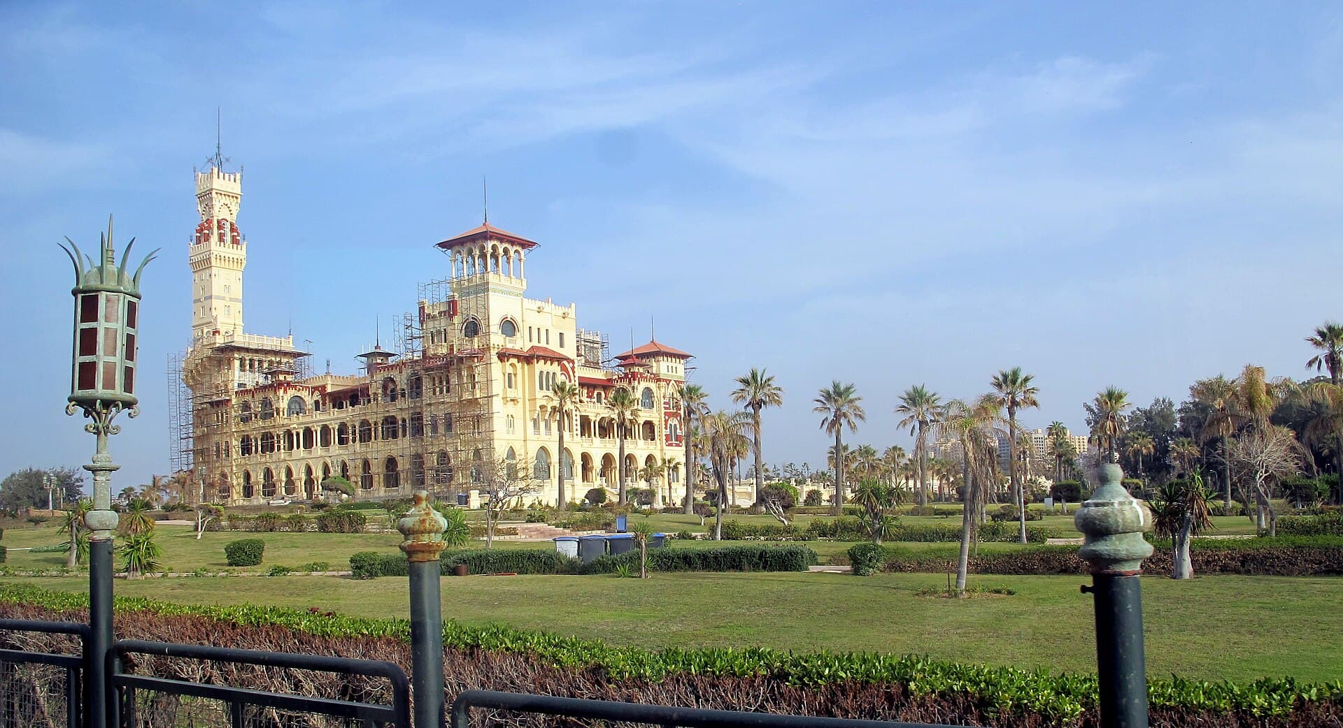
Photo Murat Özsoy 1958, via Wikimedia Commons, CC BY-SA 4.0
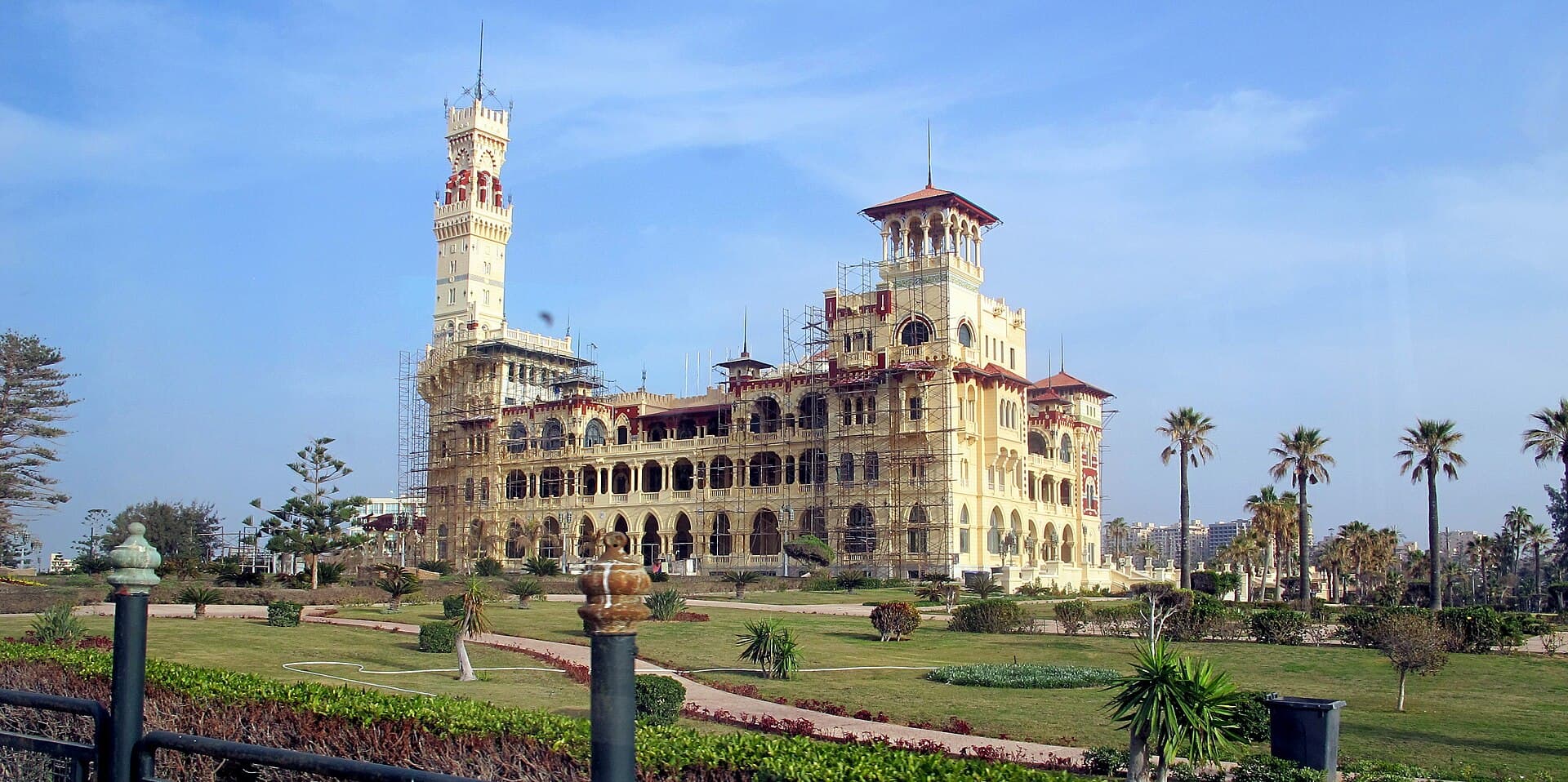
Photo Murat Özsoy 1958, via Wikimedia Commons, CC BY-SA 4.0
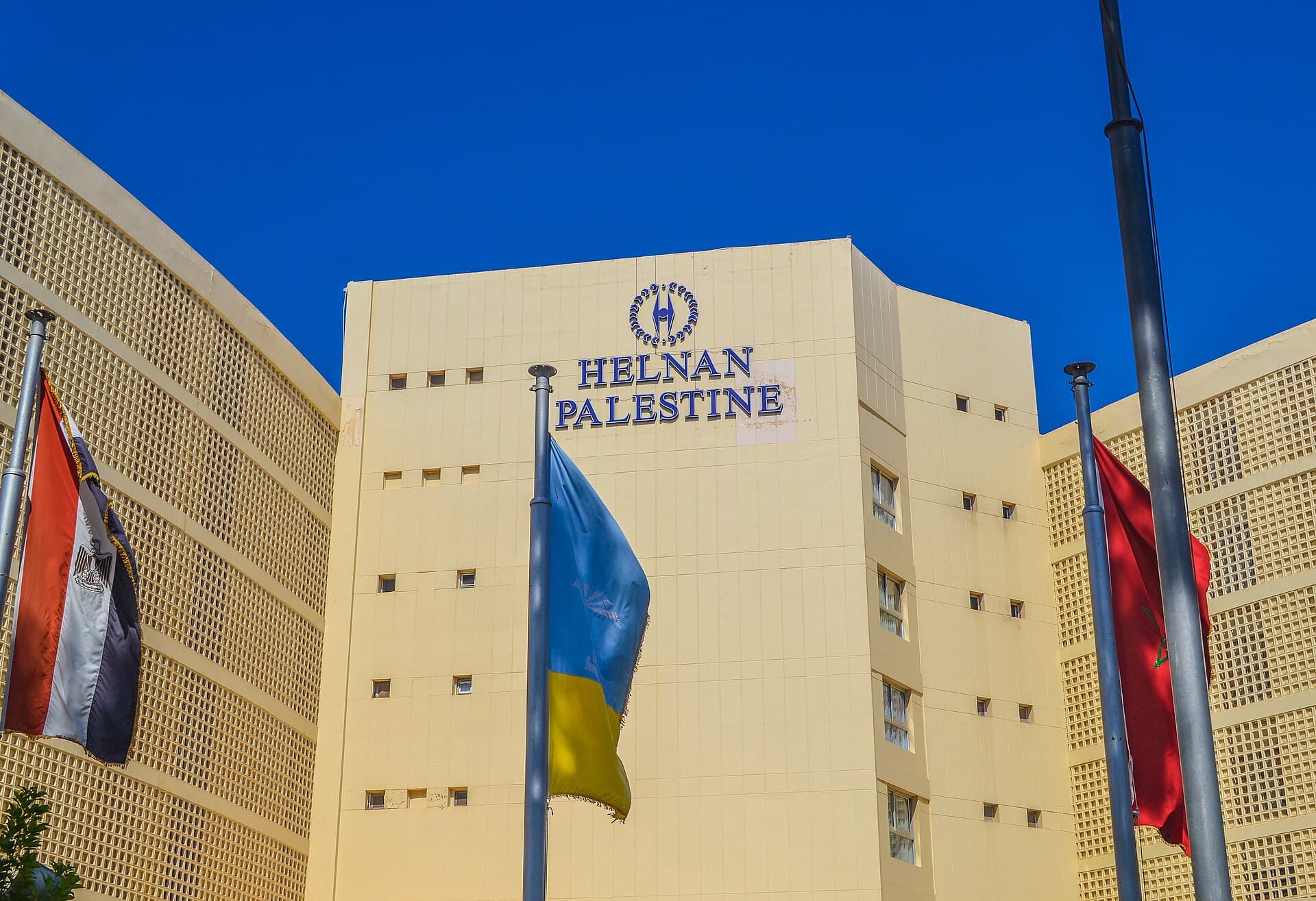
Photo Mina.maher.aziz, via Wikimedia Commons, CC BY-SA 3.0
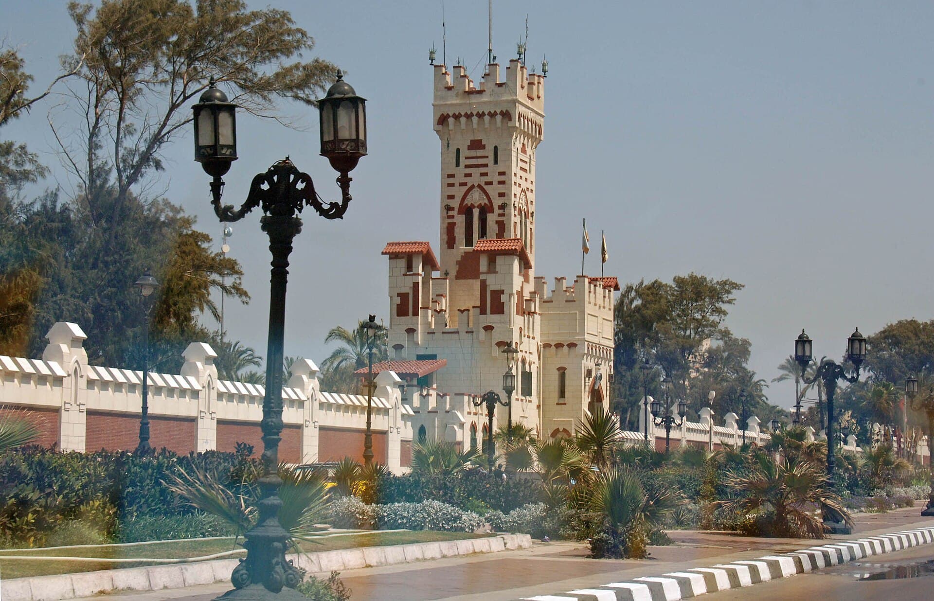
Photo Jerrye & Roy Klotz, MD, via Wikimedia Commons, CC BY-SA 3.0
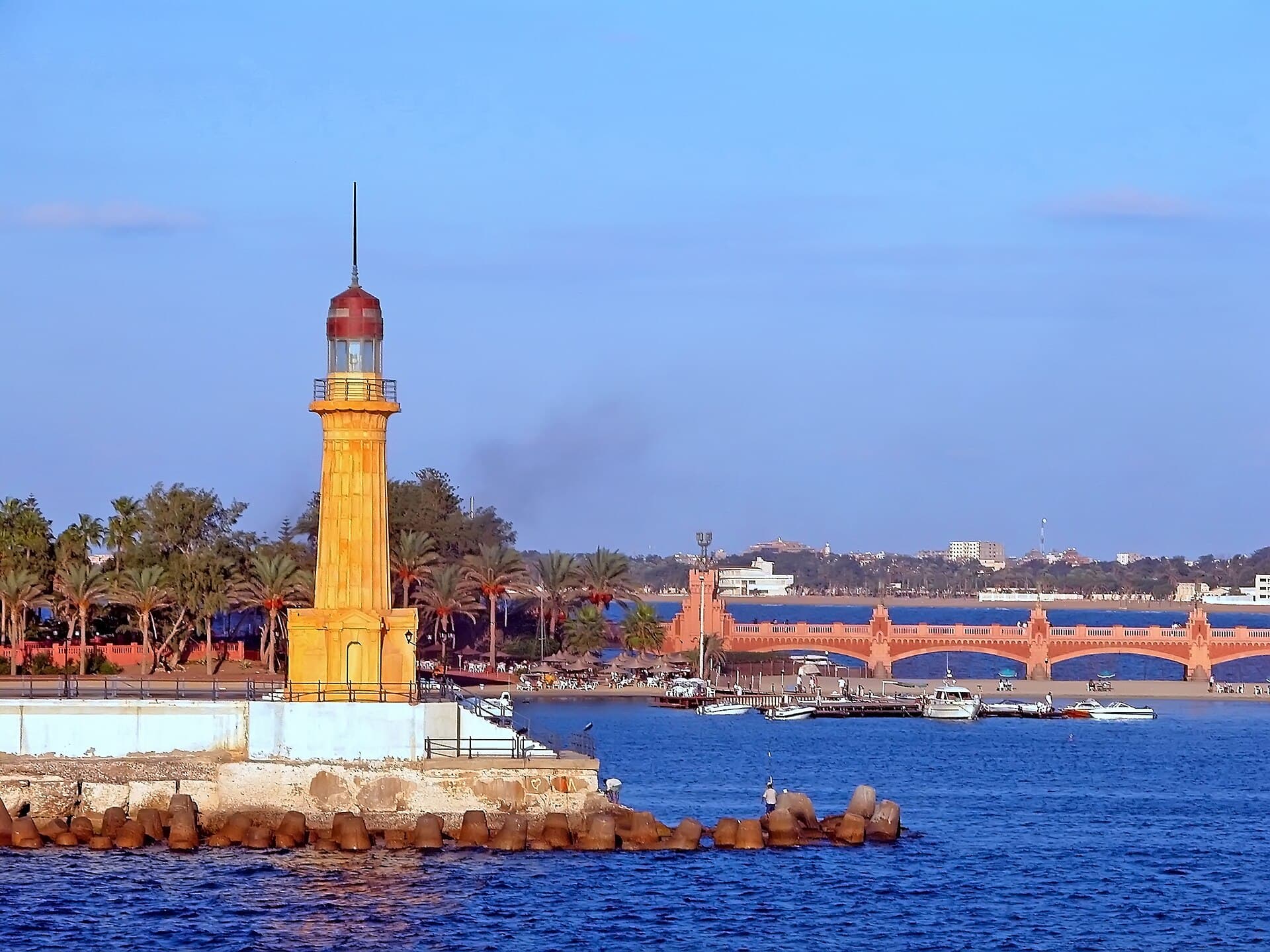
The Montazah lighthouse
Photo Dennis G. Jarvis, via Wikimedia Commons, CC BY-SA 2.0
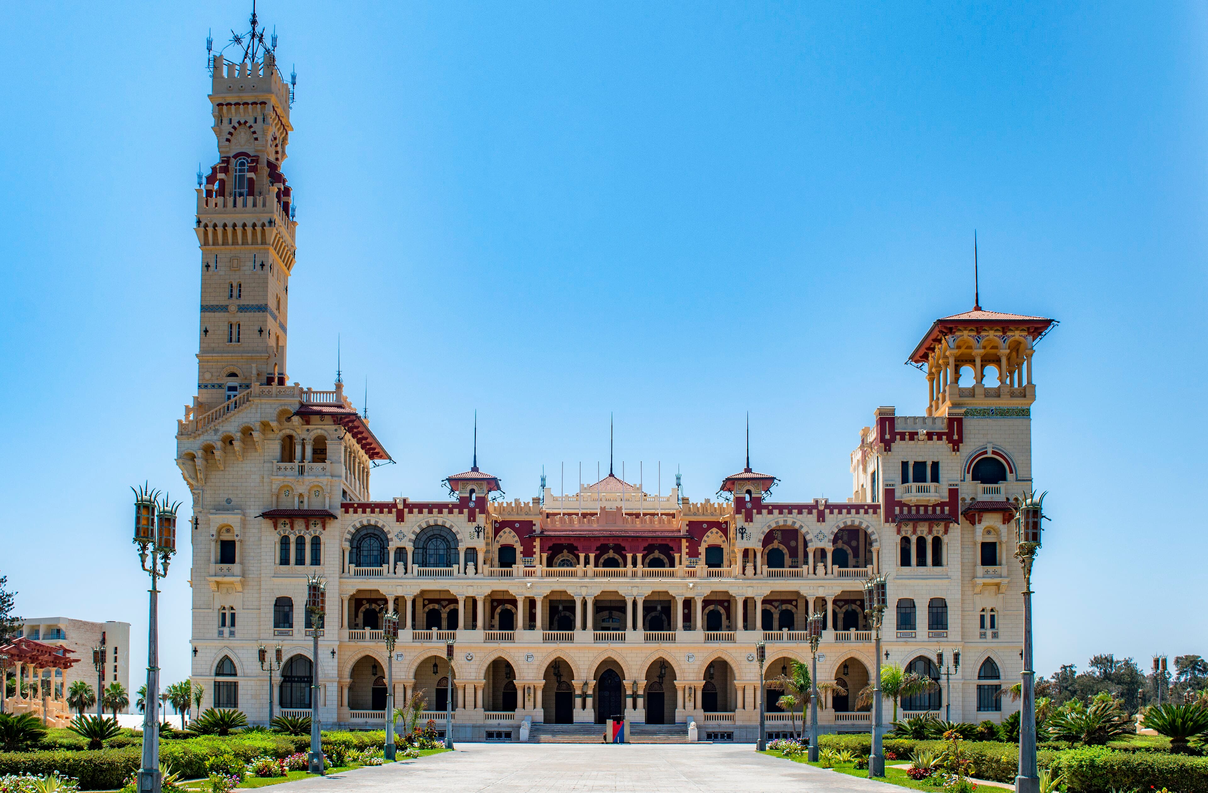
Montazah Palace and the sea
Photo ASaber91, via Wikimedia Commons, CC BY-SA 4.0
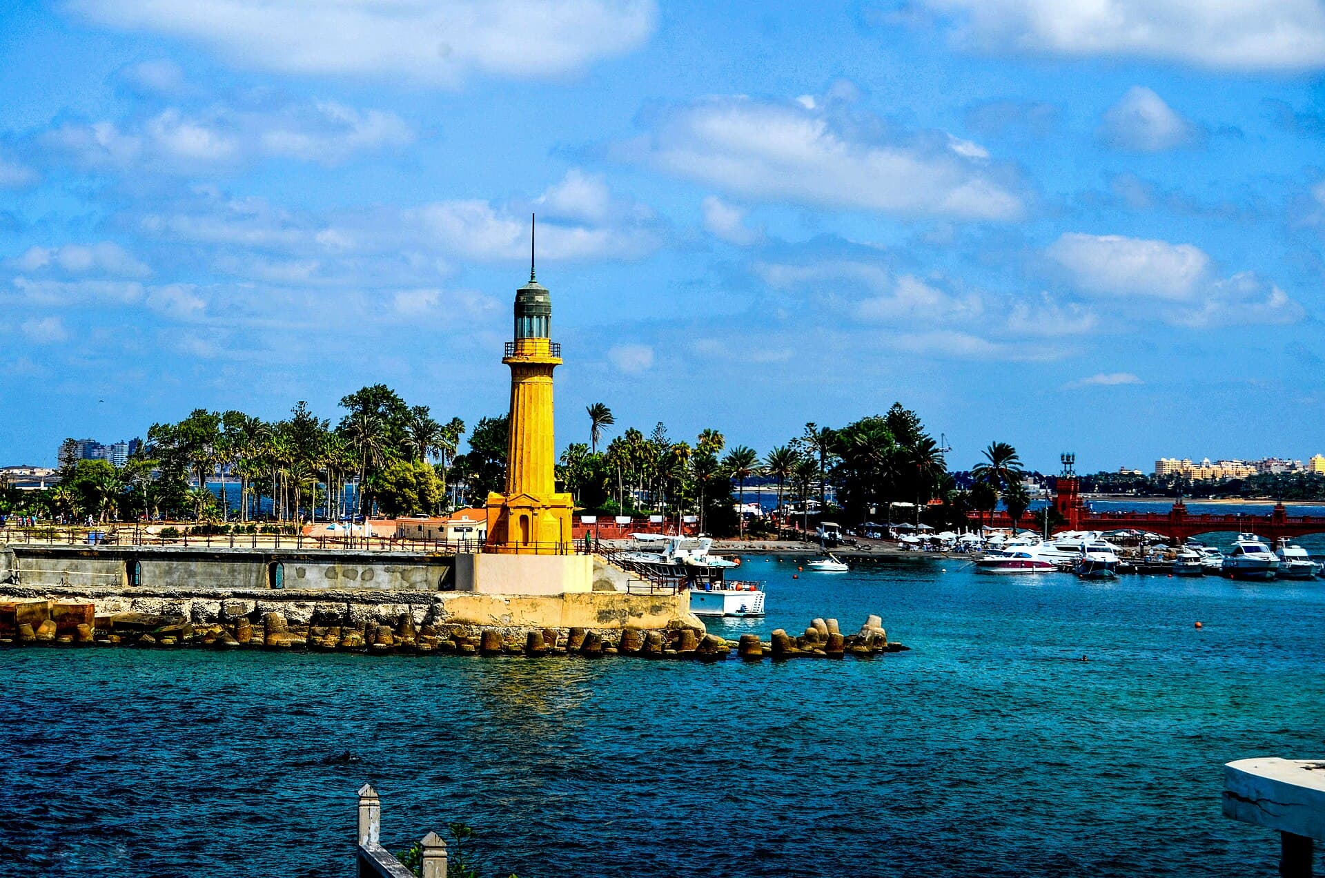
Photo Khaledfawzy1, via Wikimedia Commons, CC BY-SA 4.0
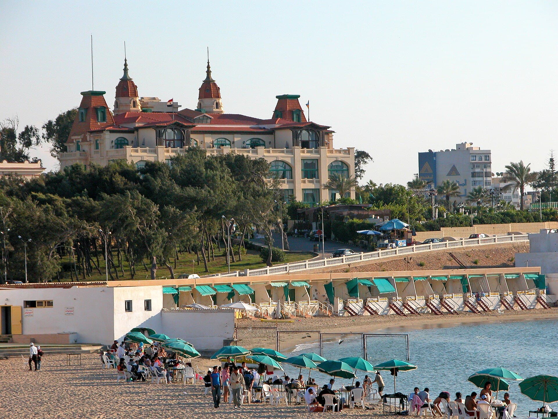
Photo Dennis G. Jarvis, via Wikimedia Commons, CC BY-SA 2.0
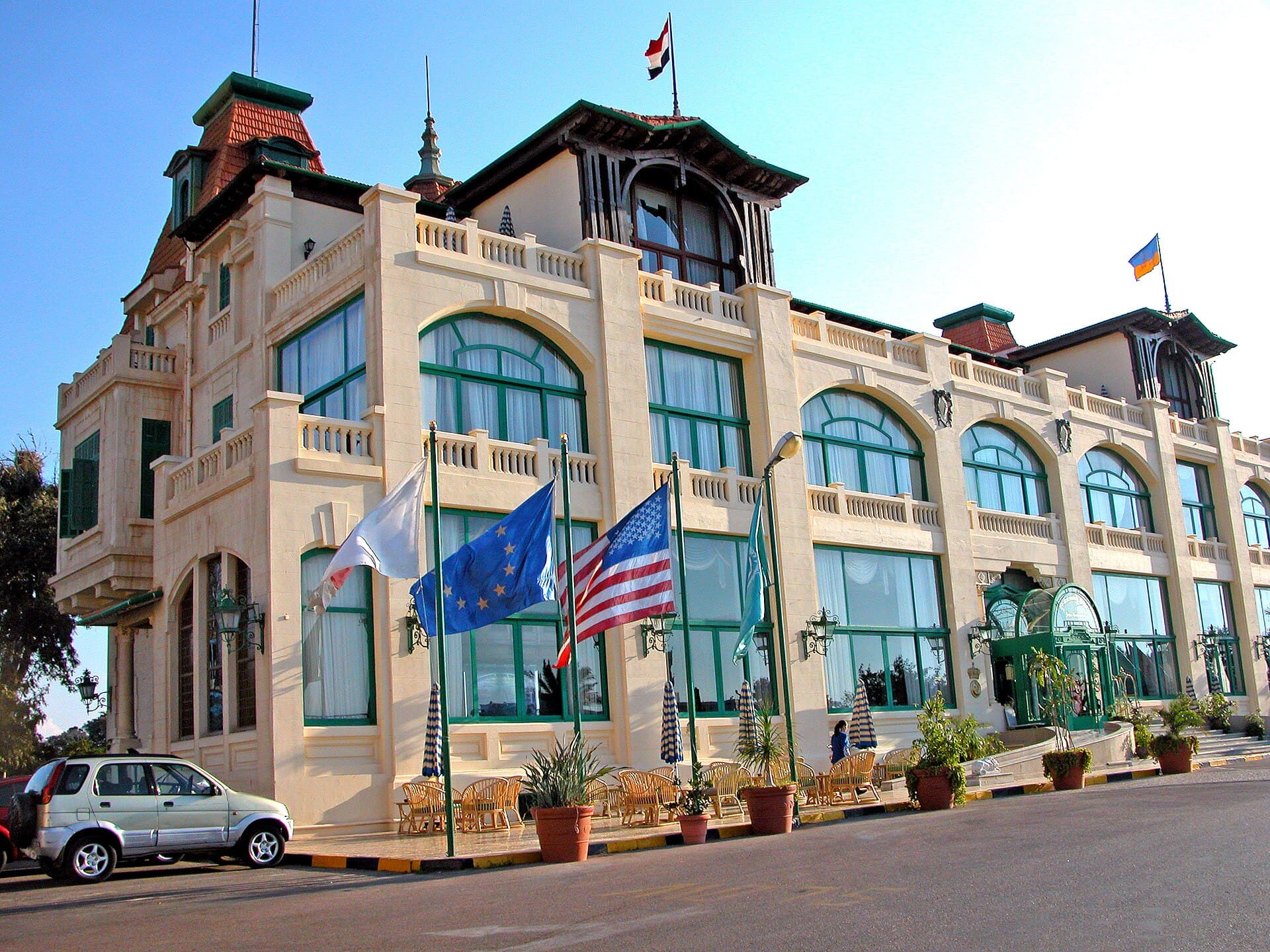
Photo Dennis G. Jarvis, via Wikimedia Commons, CC BY-SA 2.0
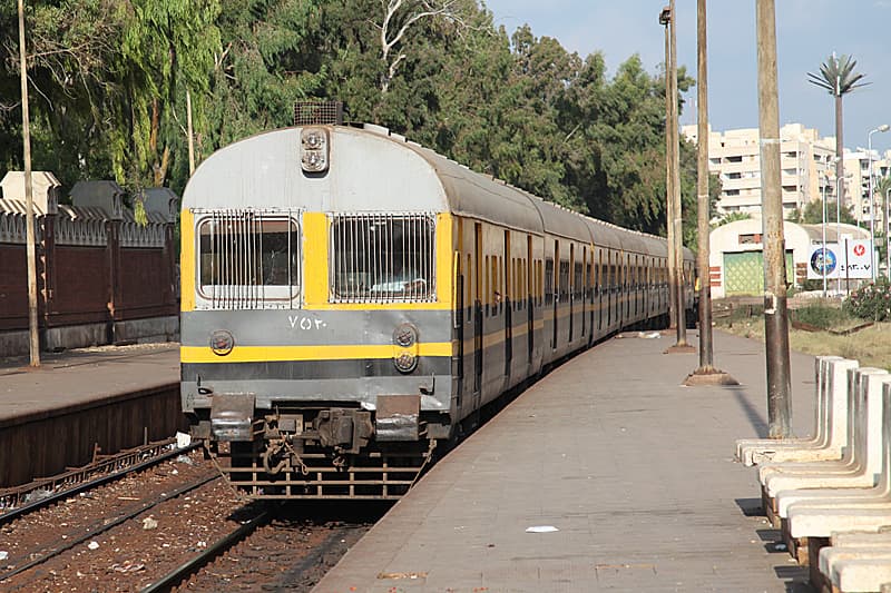
Toussoun Station & the Abu Qir Line
Photo Roland Unger, via Wikimedia Commons, CC BY-SA 3.0
Landmarks with no photograph yet
We hold no photograph of these that we can publish here, so they appear as a line drawing made for this site rather than as an image that might misrepresent what you would find on the ground:
- The Maamoura Shores
- Abu Qir Bay & Harbour
- Nelson’s Island
The films: their pictures and sound
The district films and the landmark documentaries are cut from freely licensed and public-domain pictures, and the films themselves are shared under CC BY-SA 4.0. The documentaries’ maps are drawn from © OpenStreetMap contributors data (ODbL), with qism boundaries from geoBoundaries (CC BY 3.0 IGO).
The line drawings
The line drawings used for service icons, and for landmarks without a photograph, were made for this site and belong to the district.